

EASTERN DRONE MAPPING
your source for airborne imagery acquisition in the eastern United States
Our Services
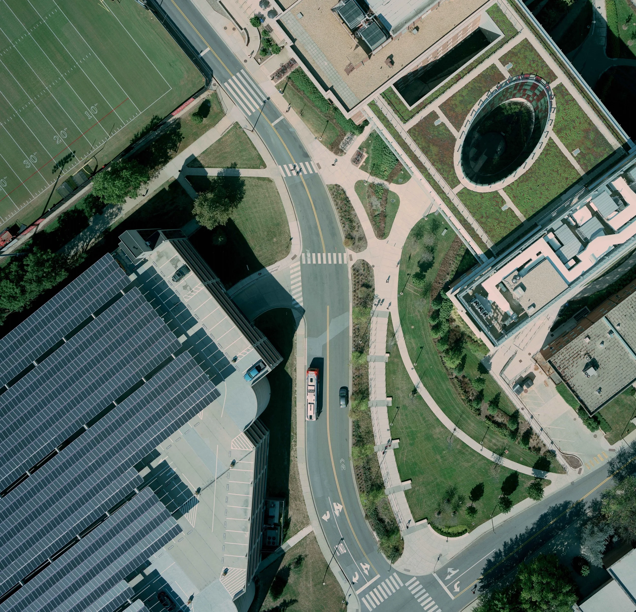
3d modeling & orthoimagery
We provide high-precision mapping services and deliver GSDs as small as 0.3 cm for your photogrammetry, roof survey, and 3D modeling needs.

site inspections & asset monitoring
Get in touch with our skilled professionals for personalized guidance and innovative solutions tailored to your needs and locations. We specialize in capturing GIS data in complex and restricted airspace.

stockpile surveys
Ensure every worksite meets progress expectations and safety standards. Eastern Drone Mapping performs visual inspections and delivers consistent historical data of your assets, all while reducing risk.
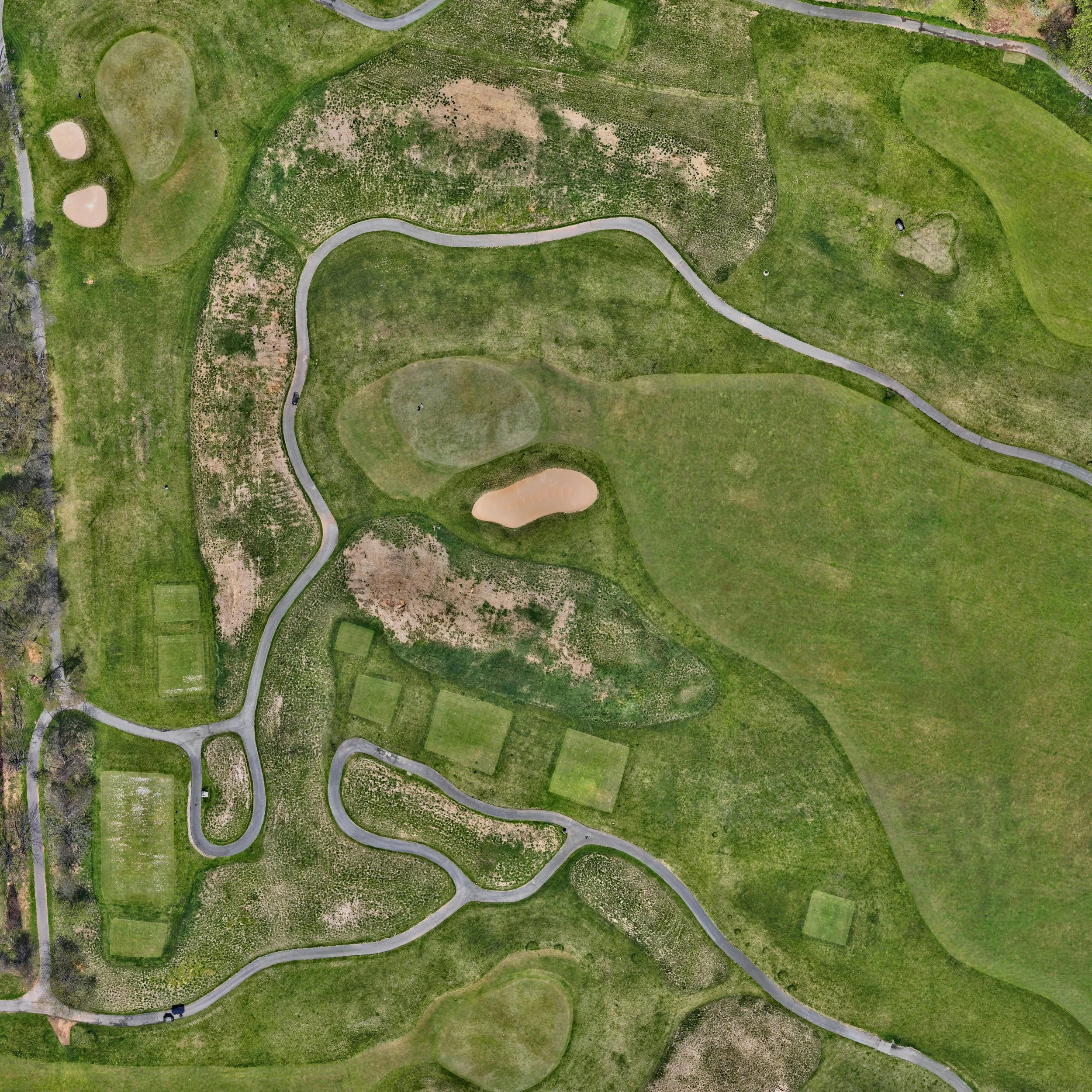
Golf course mapping
Have us collect a topographical survey of your course or give your patrons a glimpse of the design ahead of their tee time.

sailing & Action photography
Contact us to have your adventures captured from above! We can overfly your regatta or capture the sunset at your favorite anchorage.

Real Estate marketing
Have EDM showcase your listing and its surrounding neighborhood to attract the best buyers!